Before you start
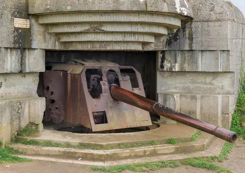
On 6 June 1944 Allied armies landed on the coast of Normandy in the largest seaborne invasion in history, opening the campaign that would liberate western Europe from Nazi Germany. The landings stretched along some eighty kilometres of shore, divided into five beaches: Utah and Omaha for the Americans, Gold and Sword for the British, and Juno for the Canadians, with airborne troops dropped inland on both flanks. This guide follows the coast from west to east, from the cliffs of Pointe du Hoc and the bloody sands of Omaha to the American cemetery above them, the German guns at Longues, the artificial harbour at Arromanches, the Canadian beach at Courseulles and Pegasus Bridge, the first objective taken that night. The route covers about sixty kilometres by road and needs a car or a tour; allow a full day, or two to see it properly.
Use it as a self-guided tour of the Normandy D-Day Beaches: 7 stops in visit order, each played when you’re ready, at your own pace.
 Free preview · Stop 1
Pointe du Hoc
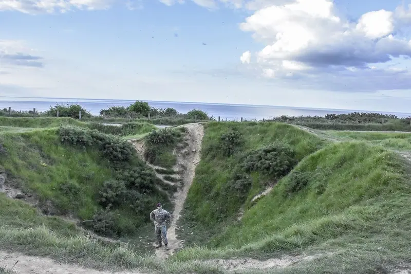
Pointe du Hoc is a headland with cliffs about thirty-five metres high, between Utah and Omaha beaches. The Germans had built a battery of six heavy guns here in 1943, and from this point they could have fired on both beaches. On the morning of D-Day, men of the United States Army Rangers under Lieutenant Colonel James Rudder landed at the foot of the cliffs. Their boats fired rockets that carried ropes and grapnels up the rock face, and the Rangers climbed under fire from the Germans above, while Allied warships shelled the cliff top to protect them. When they reached the top they found that the guns had been moved from their positions. Patrols found five of them hidden inland and put them out of action. The Rangers then held the point against German counter-attacks for two days, at a heavy cost, until they were relieved. Today the cliff top is still pitted with huge bomb and shell craters, and you can walk among the shattered bunkers to the observation post at the point. A granite memorial to the Rangers stands above the cliff. From Pointe du Hoc, drive east to Vierville-sur-Mer at the western end of Omaha Beach.
Photo: U.S. Army 173IBCT-A by Lt. Col. John Hall · Public domain · Wikimedia Commons
What to see at the Normandy D-Day Beaches: 7 stops, in visit order
- 01
 Pointe du HocThe Rangers’ cliffsFree preview
- 02
 Omaha Beach at ViervilleBloody OmahaIn the guide
- 03
 The Normandy American CemeteryAbove Omaha BeachIn the guide
- 04
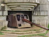 The Longues-sur-Mer batteryThe German gunsIn the guide
- 05
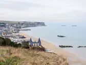 Arromanches and the Mulberry harbourPort WinstonIn the guide
- 06
 Juno BeachThe CanadiansIn the guide
- 07
 Pegasus BridgeThe first objectiveIn the guide
Site map of the Normandy D-Day Beaches
History of the Normandy D-Day Beaches
After the fall of France in 1940, Germany occupied northern France and fortified its coast as part of the Atlantic Wall, a chain of bunkers, gun batteries, mines and beach obstacles stretching from Norway to Spain. The Allies planned their return for years. Operation Overlord, under General Dwight Eisenhower, brought together American, British, Canadian and other Allied forces in southern England, while an elaborate deception persuaded the Germans that the main blow would fall near Calais. Shortly after midnight on 6 June, airborne troops landed by parachute and glider to secure the flanks. At dawn, after heavy bombing and naval bombardment, the seaborne assault began. By nightfall the Allies were ashore on all five beaches, though at a heavy cost.
The full history continues in the guide.
The Normandy D-Day Beaches guide: questions
How many stops does the Normandy D-Day Beaches guide have?
7 stops, in visit order: 1. Pointe du Hoc; 2. Omaha Beach at Vierville; 3. The Normandy American Cemetery; 4. The Longues-sur-Mer battery; 5. Arromanches and the Mulberry harbour; 6. Juno Beach; 7. Pegasus Bridge.
Can I do a self-guided tour of the Normandy D-Day Beaches with this guide?
Yes. The guide is made for a self-guided tour: 7 stops in visit order, each with a photo, a story and a voice, so you can explore the Normandy D-Day Beaches at your own pace, without joining a group. Download it before you go and it works offline.
How long is each guide?
The 7 stops add up to about 7 minutes of listening in total. You play each stop when you’re ready, so you can go at your own pace.
Does the guide work offline?
Yes, once it’s downloaded. The guide is a single self-contained web page (about 7.1 MB) with the photos, text and audio built in. Download it to your phone before you go (Wi-Fi is best); after that it opens in any modern browser on iPhone or Android, with no app, account or mobile signal needed.
Does it use GPS or need my location?
No. The guide doesn’t use GPS and doesn’t know where you are: you play each stop when you reach it. It works on iPhone and Android in any modern browser, and it’s in English.
What’s included?
One self-contained HTML guide: 7 stops in visit order, each with a photo, text and a voice, plus the story of who built the site.
Who built the Normandy D-Day Beaches?
After the fall of France in 1940, Germany occupied northern France and fortified its coast as part of the Atlantic Wall, a chain of bunkers, gun batteries, mines and beach obstacles stretching from Norway to Spain. The Allies planned their return for years.
Is there a free audio guide to the Normandy D-Day Beaches?
The first stop, Pointe du Hoc, is free to read and hear on this page, so you can try the Normandy D-Day Beaches audio tour before you buy. The full guide, with all 7 stops, is a one-off purchase: download it once and it’s yours to keep, working offline.
Is the Normandy D-Day Beaches guide worth it?
If you’d like to know what you’re looking at, yes. For $10 you get 7 stops in visit order, each with a photo, a short history and a voice you play when you’re ready, plus a site map of the stops, and about 7 minutes of listening in all. It’s short on purpose, so you spend your time looking, not listening. It’s yours to keep, works offline and needs no app. The first stop is free on this page, so you can try it before you buy. If you’d like hours of detail, a guided tour will go deeper.
Audio guide or guided tour?
It depends how you like to visit. This guide lets you explore the Normandy D-Day Beaches at your own pace, at any time, for a one-off price. A guided tour gives you a live expert you can ask questions, but at fixed times and usually for a higher price. Many people use both: a tour for the big picture, and the guide to read beforehand or to revisit the stops in their own time.
Is this the official Normandy D-Day Beaches guide?
No. It’s an independent guide by The Historian Guide, not affiliated with or endorsed by the operator of the Normandy D-Day Beaches. For tickets and opening hours, check the official site operator before you go.
Does the guide include entry tickets or opening hours?
No. The guide is a digital companion only. Admission to the Normandy D-Day Beaches is separate, so check the official site operator for current tickets and opening hours before you go.
- Stop 1 · Pointe du Hoc: U.S. Army 173IBCT-A by Lt. Col. John Hall · Public domain · Wikimedia Commons · resized
- Stop 2 · Omaha Beach at Vierville: Nico 88 · CC BY-SA 3.0 · Wikimedia Commons · resized
- Stop 3 · The Normandy American Cemetery: Peter K Burian · CC BY-SA 4.0 · Wikimedia Commons · resized
- Stop 4 · The Longues-sur-Mer battery (also the cover): Jebulon · CC0 · Wikimedia Commons · resized
- Stop 5 · Arromanches and the Mulberry harbour: Myrabella · CC BY-SA 3.0 · Wikimedia Commons · resized
- Stop 6 · Juno Beach: remiforall · CC BY-SA 4.0 · Wikimedia Commons · resized
- Stop 7 · Pegasus Bridge: Iain Cameron · CC BY 2.0 · Wikimedia Commons · resized


All photographs from Wikimedia Commons under the licences shown.
More guides in France
 Napoleonic France8 stops · Napoleonic era
Arc de Triomphe audio guide
Cross beneath the traffic to Napoleon’s arch, read its carved victories and the names of its generals, then climb to the rooftop terrace.
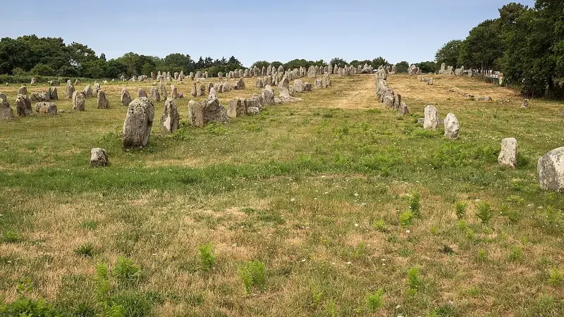 Neolithic10 stops · c. 5000 – 2300 BCE (megalith building)
Carnac Megaliths audio guide
Thousands of standing stones in rows, giant mounds and decorated tombs: the alignments of Carnac, the broken menhir of Locmariaquer and the carved cairn of Gavrinis.
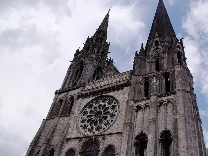 Gothic8 stops · 12th–13th century CE
Chartres Cathedral audio guide
Step through the Royal Portal into a Gothic cathedral rebuilt after the fire of 1194, with its labyrinth and the deep Chartres blue of its glass.
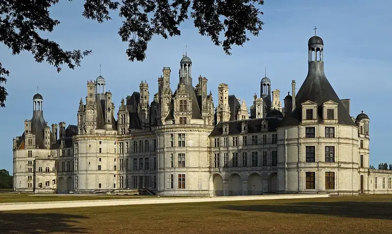 Renaissance8 stops · from 1519 CE
Château de Chambord audio guide
Climb the double-helix staircase of François I’s great hunting château to roof terraces crowded with chimneys and turrets, above a vast walled forest park.
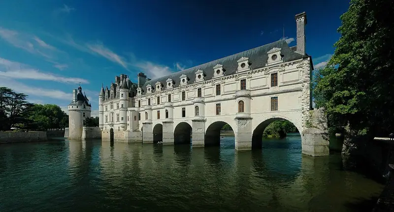 Renaissance8 stops · 1513–1521 CE
Château de Chenonceau audio guide
Cross the River Cher on the long gallery of the château built under Katherine Briçonnet’s eye and later home to Diane de Poitiers.
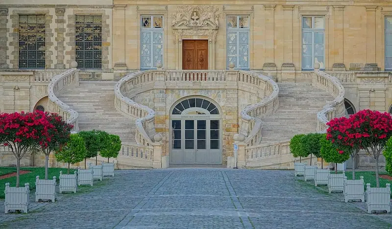 Renaissance8 stops · from 1528 CE
Château de Fontainebleau audio guide
From the Courtyard of Farewells through François I’s Renaissance gallery to the throne room and Napoleon’s apartments.
Every guide, in every country
The Normandy D-Day Beaches and every other guide we publish, including future ones. One payment, no subscription.